Peatland Fires Darken Skies in Indonesia
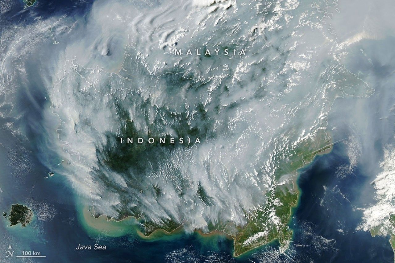
Tropical peatland fires are among the most destructive types of fires because they burn slowly in dried wetland soils, smolder at low temperatures, and often spread underground through expansive peat deposits, making them notoriously difficult to extinguish. Compared with other tropical forest fires, peat fires produce three times more fine particulate matter, five times more sulfur dioxide, three times more organic carbon, and two times more methane and carbon monoxide.
The MODIS instrument on NASA's Aqua satellite captured an image on September 1, 2026, showing fires across Indonesia, with a map overlay displaying red dots for each fire detection—pixels flagged as thermal anomalies. Indonesia holds about 36% of the world's tropical peatlands, and when drought parches these landscapes, they can become persistent infernos. The current fire season is being exacerbated by a strengthening El Niño, confirmed by NOAA in August, along with a positive phase of the Indian Ocean Dipole—both patterns that sharply reduce rainfall.
Columbia University researcher Robert Field, who developed the Global Fire Weather Database, said the fire activity is "tracking sharply upward, similar to 2015," with the strong El Niño making the dry season drier in fire-prone regions. In 2015, fires burning for over three months released 1.75 billion tons of greenhouse gas equivalents—more than Japan's annual emissions. By September 2, 2026, the fires, which have been burning for about a month, had already released roughly 10% of that amount. Indonesia was in the midst of a severe drought, with about 90% of the country receiving little to no rainfall in early August.